Several years ago, I stumbled across a great website that generates both real-time and predicted views of global wind and weather patterns. The site pulls its data from sources such as GFS (Global Forecast System), NCEP (National Centers for Environmental Prediction), and the US National Weather Service.
In light of Hurricane Ian, it provided an interesting view of what was happening as the storm headed toward the Florida coastline.
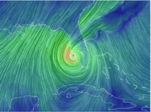
This image was taken from the site on Wednesday, September 28 at 2:49 pm as the hurricane started to make landfall.
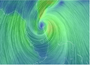
This image was taken Thursday, September 29 at 9:55 am as it made its way across Florida.
You can visit this site at: https://earth.nullschool.net/
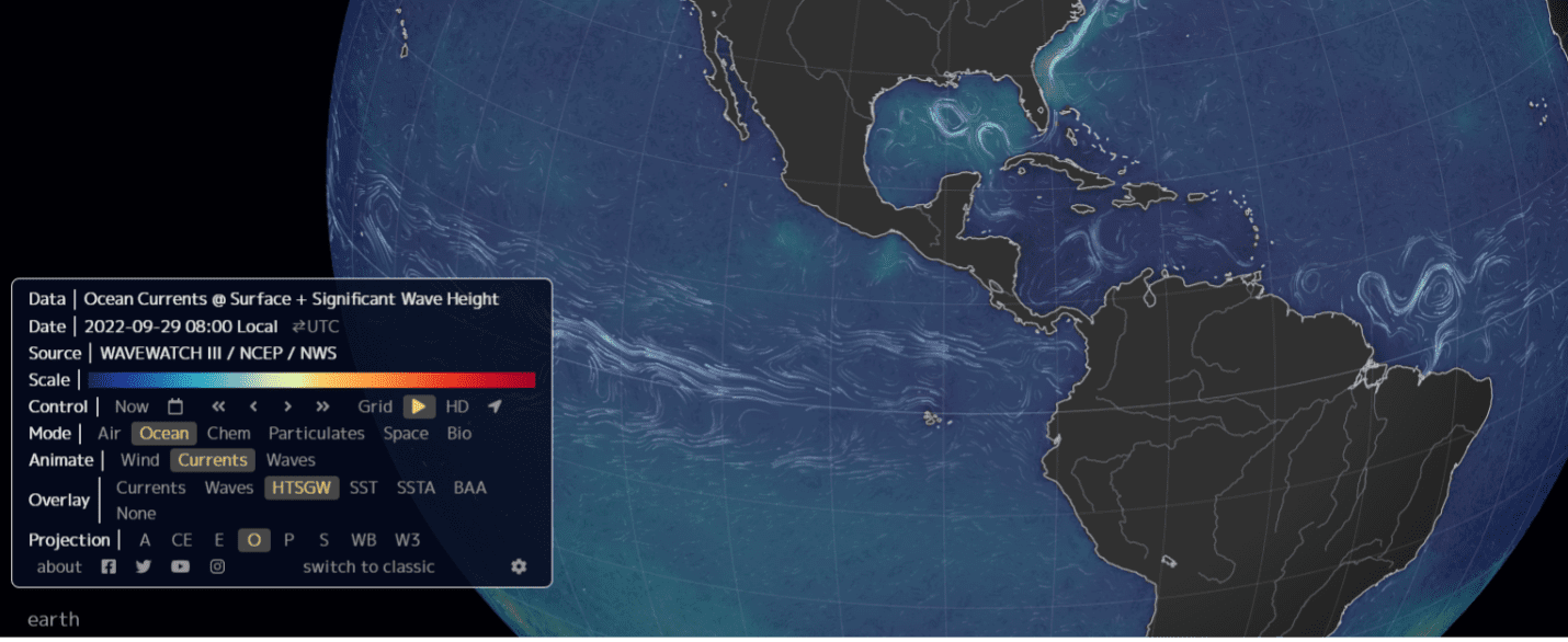 There are also several other modes that can be toggled from the earth menu (bottom left) and will show you different views such as ocean currents and atmospheric chemistry.
The control feature of this menu is what allows you to see what future conditions could be, based on the compiled data.
Next time you are making last-minute travel plans, check out this site so you can better prepare for what the weather might be doing at your destination.